
Doctor of Philosophy (PhD) in Geography and Cartography
A PhD in Geography and Cartography involves advanced research in spatial sciences, preparing students for careers in academia, research, and specialized geographic analysis.
About
The Doctor of Philosophy (PhD) in Geography and Cartography is a research-focused degree offered in the United States. It is designed for students who want to deepen their knowledge in spatial sciences, geographic theory, and mapping technologies. This doctorate is intended for those who aim to become experts in geographic research, teaching at universities, or working in specialized fields like GIS or spatial data analysis.
- The program typically lasts between four and seven years, depending on the research progress.
- It is aimed at students who have already completed a master's degree in geography or a related field.
- This degree allows graduates to pursue careers as university professors, researchers, or specialists in geographic information systems.
- The focus is on conducting original research that contributes new knowledge to geography and cartography.
- Students develop skills in advanced spatial analysis and mapping techniques.
What you study
The PhD program in Geography and Cartography is centered around research, but also includes coursework to build theoretical and technical expertise. The first years usually involve advanced classes and seminars, while later years focus on dissertation research.
- Students study topics like geographic theory, spatial statistics, and cartographic design.
- There is a strong emphasis on geographic information systems (GIS) and remote sensing technologies.
- Courses often include practical labs where students work with mapping software and spatial data.
- Over time, students develop a research proposal and conduct original fieldwork or data analysis.
- The program requires regular meetings with academic advisors and participation in research seminars.
- Practical application is key, with students expected to produce a dissertation that advances knowledge in their specialty area.
How to get in
Admission to a PhD program in Geography and Cartography in the US requires a strong academic background and research interest. The process is competitive and involves several steps.
- Applicants must hold a master's degree in geography or a related discipline.
- They need to submit academic transcripts, letters of recommendation, and a statement of research interests.
- Some programs require GRE scores, though this varies by institution.
- Applicants should demonstrate a clear motivation for research and relevant skills in spatial analysis or cartography.
- Interviews or discussions with faculty may be part of the selection process.
- Successful candidates usually have strong academic records and a defined research project idea.
Day to day
The daily life of a PhD student in Geography and Cartography involves a mix of coursework, research, and academic collaboration. The rhythm varies over the years of study.
- Early years include attending seminars, completing coursework, and developing research proposals.
- Later years focus on fieldwork, data collection, and analysis for the dissertation.
- Students often participate in academic conferences and workshops to present their work.
- Collaboration with advisors and research groups is common, providing feedback and support.
- There is no formal alternance or internship system, but students may engage in teaching assistantships or research projects.
- Time management and self-motivation are important due to the independent nature of the research.
Careers this degree leads to
Graduates with a PhD in Geography and Cartography have access to specialized career paths mainly in research and education, but also in applied geographic fields.
- Many become university professors or academic researchers in geography departments.
- Others work as GIS specialists or spatial data analysts in government agencies or private companies.
- Some find roles in environmental consulting or urban planning firms.
- The job market can be competitive, and building a strong research profile helps with employment.
- Insertion into professional roles is generally supported by networking and publications during the PhD.



Continuing your studies
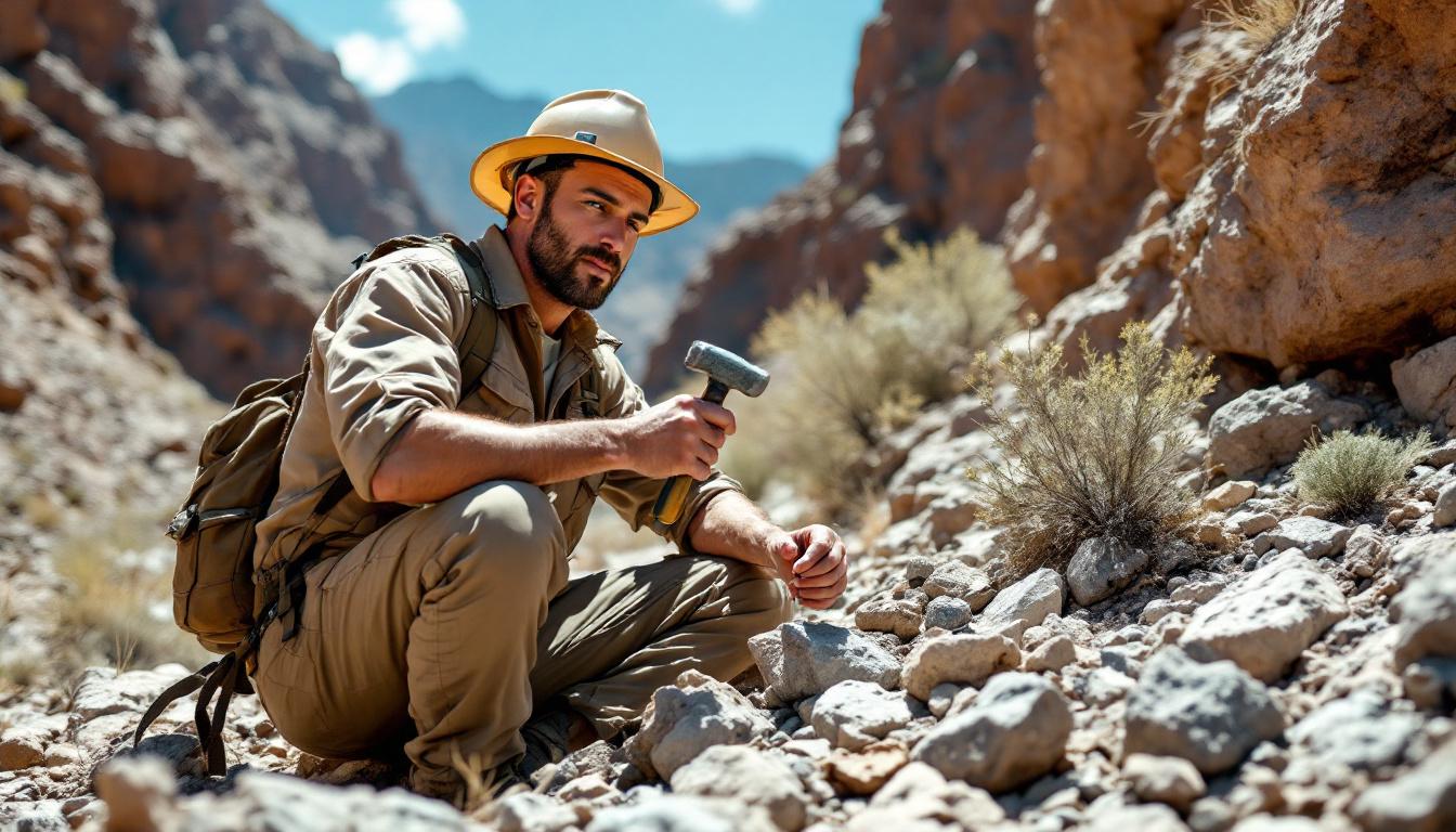
After completing a PhD in Geography and Cartography, further study options are limited but some graduates may pursue postdoctoral research to deepen expertise.
- Postdoctoral positions allow graduates to continue research and publish work.
- Some may transition into interdisciplinary fields by acquiring additional skills or certifications.
- Others may move into professional development courses related to GIS technologies or data science.
Where to study this degree (67)















Liste des 67 établissements
- University of DelawareNewark
- University of California-Santa BarbaraSanta Barbara
- University of California-Los AngelesLos Angeles
- University of GeorgiaAthens
- University of Maryland-College ParkCollege Park
- University of California-DavisDavis
- University of South FloridaTampa
- University of North Carolina at Chapel HillChapel Hill
- Ohio State University-Main CampusColumbus
- University of Tennessee at KnoxvilleKnoxville
- University of Wisconsin–MadisonMadison
- San Diego State UniversitySan Diego
- Arizona State University Campus ImmersionTempe
- Texas State UniversitySan Marcos
- University of ArizonaTucson
- University of Colorado BoulderBoulder
- University of North Carolina at CharlotteCharlotte
- University of ConnecticutStorrs
- University of Southern CaliforniaLos Angeles
- Kent State University at KentKent
- Rutgers University-New BrunswickNew Brunswick
- University of Minnesota-Twin CitiesMinneapolis
- Louisiana State University and Agricultural & Mechanical CollegeBaton Rouge
- University of FloridaGainesville
- University of Maryland-Baltimore CountyBaltimore
- University of DenverDenver
- University of UtahSalt Lake City
- University of South Carolina-ColumbiaColumbia
- West Virginia UniversityMorgantown
- The University of Texas at DallasRichardson
- University of OregonEugene
- Florida State UniversityTallahassee
- Oregon State UniversityCorvallis
- The University of Texas at AustinAustin
- University of North Carolina at GreensboroGreensboro
- University of KentuckyLexington
- Virginia TechBlacksburg
- Texas A & M University-College StationCollege Station
- University of Illinois Urbana-ChampaignUrbana
- University of IowaIowa City
- Saint Louis UniversitySt Louis
- University of AlabamaTuscaloosa
- Syracuse UniversitySyracuse
- University of Southern MississippiHattiesburg
- University of IdahoMoscow
- Temple UniversityPhiladelphia
- Indiana State UniversityTerre Haute
- University of OklahomaNorman
- Oklahoma State University-Main CampusStillwater
- University of ToledoToledo
- Indiana University BloomingtonBloomington
- University of Hawaiʻi at MānoaHonolulu
- University of KansasLawrence
- University of Wisconsin-MilwaukeeMilwaukee
- Michigan State UniversityEast Lansing
- Oregon State University CascadesBend
- Northern Illinois UniversityDeKalb
- University of California-BerkeleyBerkeley
- University of Nebraska–LincolnLincoln
- University of Nevada, RenoReno
- University at BuffaloBuffalo
- Kansas State UniversityManhattan
- University of CincinnatiCincinnati
- Southern Illinois University CarbondaleCarbondale
- Pennsylvania State University-Main CampusUniversity Park
- Boston UniversityBoston
- Clark UniversityWorcester
Frequently asked questions
What is the typical duration of a PhD in Geography and Cartography?
The program usually takes between four and seven years, depending on the student's research progress and dissertation completion.
Do I need a master's degree to apply?
Yes, admission generally requires a master's degree in geography or a related field to ensure you have the necessary background.
Is there any practical work involved?
Yes, students engage in practical work such as field studies, data analysis, and working with GIS software as part of their research.
Can I work while doing my PhD?
PhD studies are demanding and usually full-time, but some students take on teaching assistant roles or research projects alongside their studies.
What careers can I pursue after this PhD?
Graduates often become university professors, researchers, or GIS specialists in various sectors including government and environmental consulting.
Is this degree recognized internationally?
Yes, a PhD from a US institution is widely recognized and can open doors to academic and professional opportunities worldwide.
Are there internships or alternance options?
Formal internships or alternance programs are uncommon, but students may gain practical experience through research projects and teaching.
How selective is admission to this PhD?
Admission is very selective, as programs look for candidates with strong academic records and clear research goals.